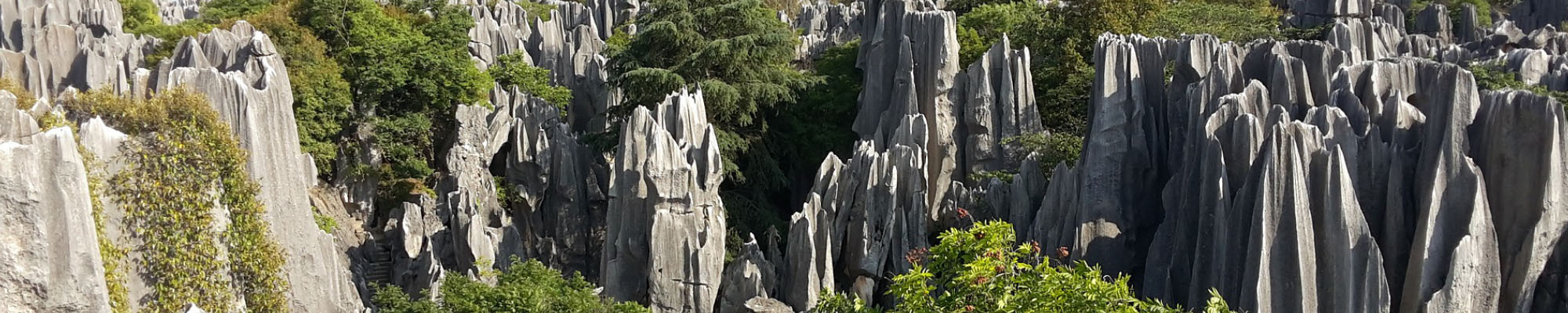
A geographic(al) information system (GIS) is "a system designed to capture, store, manipulate, analyze, manage, and present all types of spatial or geographical data" (Wikipedia definition), which is nowadays increasingly connected to remote sensing because the related satellite imagery or air photos provide large-scale, relatively accurate and affordable, and quickly-obtainable spatial data. The CHES group heavily uses many types of GIS and remote sensing data, such as georeferenced census data, vegetation plot data, web-based survey data, Landsat imagery, and high-resolution images (e.g., QuickBird) to detect various landscape patterns, to recover or simulate the related processes, and to find out possible mechanisms that generate the data.
Relatedly, we develop metrics and methods to extract information from GIS and remote sensing data. See the latent trajectory modeling with ESF, land survival analysis, and space-time analysis. Also past and current CHES members have developed a digital hemispherical photography (DHP) vegetation plot survey protocol that helps collect relatively accurate, on-site forest cover data and train the corresponding imagery for large-scale information extraction (e.g., classification). See more detail about our ground level reference data collection and processing as well as Landsat CFC processing. Below is a list of exemplar papers for our work in this regard.
An, L., M. Tsou, S. Crook, B. Spitzberg, J.M. Gawron, and D.K. Gupta (2015). Space-time analysis: Concepts, quantitative methods, and future directions. Annals of Association of American Geographers 105(5):891-914.
Dai, J., D.A. Roberts, D.A. Stow, L. An, S.J. Hall, Scott T. Yabiku, and P.C. Kyriakidis (2020). Mapping understory invasive plant species with field and remotely sensed data in Chitwan, Nepal. Remote Sensing of Environment 250 (December 2020), doi:10.1016/j.rse.2020.112037.
Linderman, M., S. Bearer, L. An, Y. Tan, Z. Ouyang, and J. Liu (2005). The effects of understory bamboo on broad-scale estimates of giant panda habitat. Biological Conservation 121(2005):383-390.
Linderman, M., J. Liu, J. Qi, Z. Ouyang, L. An, J. Yang, and Y. Tan (2004). Using artificial neural networks to map the spatial distribution of understory bamboo from remote sensing data. International Journal of Remote Sensing 25(9):1685-1700.
Mirka, B., D. Stow, G. Paulus, A. Loerch, L. Coulter, and L. An (2022). Evaluation of thermal infrared imaging from uninhabited aerial vehicles for arboreal wildlife surveillance. Environmental Monitoring and Assessment 194, 512.
Tsai, Y., D. Stow, L. Shi, R. Lewison, and L. An (2016). Quantifying canopy fractional cover and change in Fanjingshan National Nature Reserve, China using Multi-temporal Landsat imagery. Remote Sensing Letters 7(7):671-680.
Tsai, Y., D. Stow, H. Chen, R. Lewison, L. An, and L. Shi (2018). Mapping vegetation and land cover types in Fanjingshan National Nature Reserve using Google Earth Engine. Remote Sensing 2018, 10, 927. doi:10.3390/rs10060927.
Lorem ipsum dolor sit amet, consectetur adipiscing elit. Proin aliquam eros eget dolor cursus eleifend. Sed vel tortor vitae augue auctor convallis id nec mauris. Fusce scelerisque leo et magna sagittis, vitae dapibus mi tempor. Quisque dolor tellus, tristique vel dolor vel, laoreet efficitur ligula.
Copyright © 2019 - All Rights Reserved
To view pdf files you may need to download Adobe Reader. | To view Microsoft documents (doc, xls, ppt) you may need to download OpenOffice.